Liechtenstein Trail: Stage 4
From village to village with a break at the lake
Nendeln - Ruggell
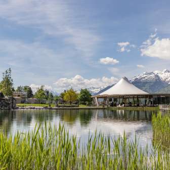
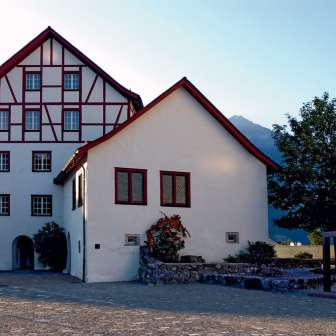
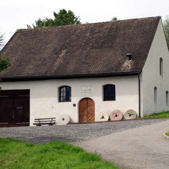
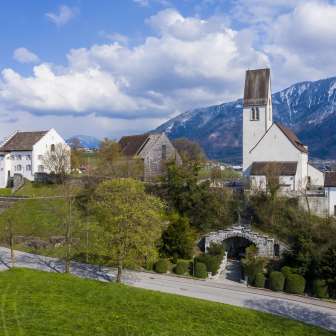
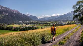
This stage takes you from Nendeln station through the villages of Eschen, Bendern and Gamprin to Ruggell in the north of Liechtenstein. Along the way, the Historic Mountain Trail and the "Kirchhügel" (church on the hill) of Bendern, one of the oldest settlements in the country, await you. Take a break at the idyllic Grossabünt bathing lake before hiking through the tranquil Kratzera forest to the center of Ruggell.
Facts & figures
Total length
14.8 km
Walking time
3:55 h
Height difference ascent
252 m
Height difference descent
271 m
Highest point
543 m
Lowest point
433 m
Your ideal companion: the LIstory app
The LIstory app brings you conveniently and informatively from adventure station to adventure station on the Liechtenstein Trail. Learn about the history and culture of the Principality as you hike through it.
